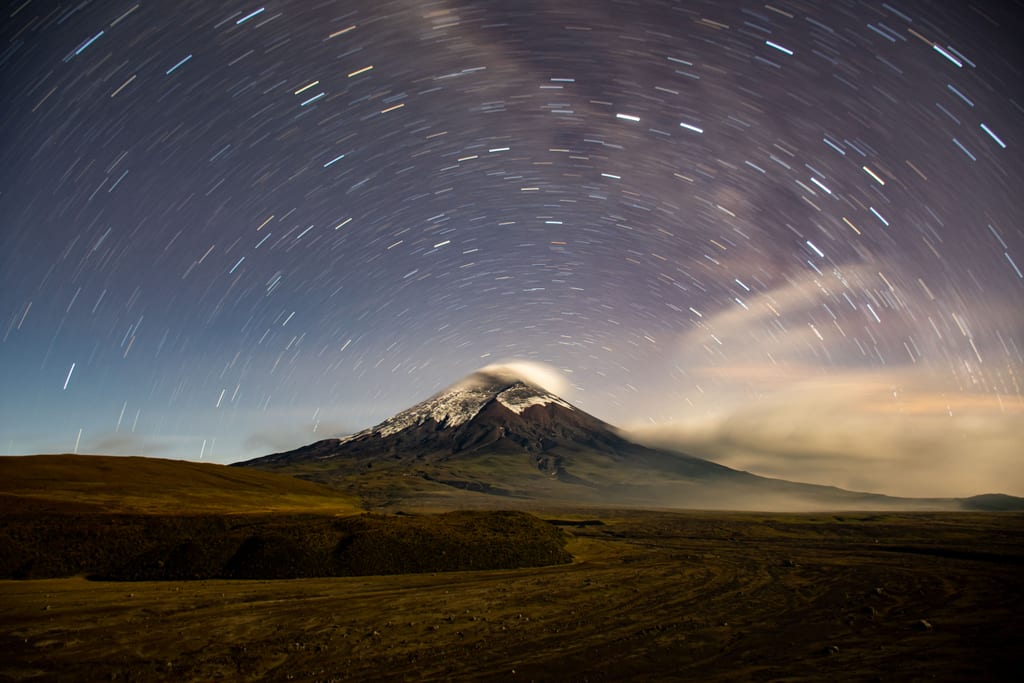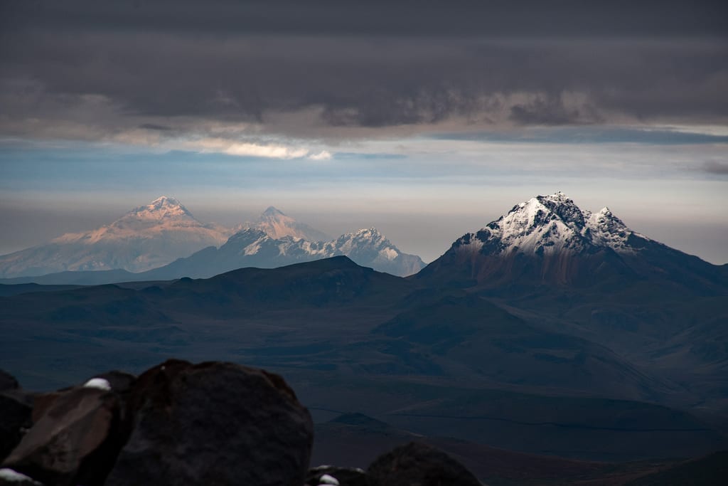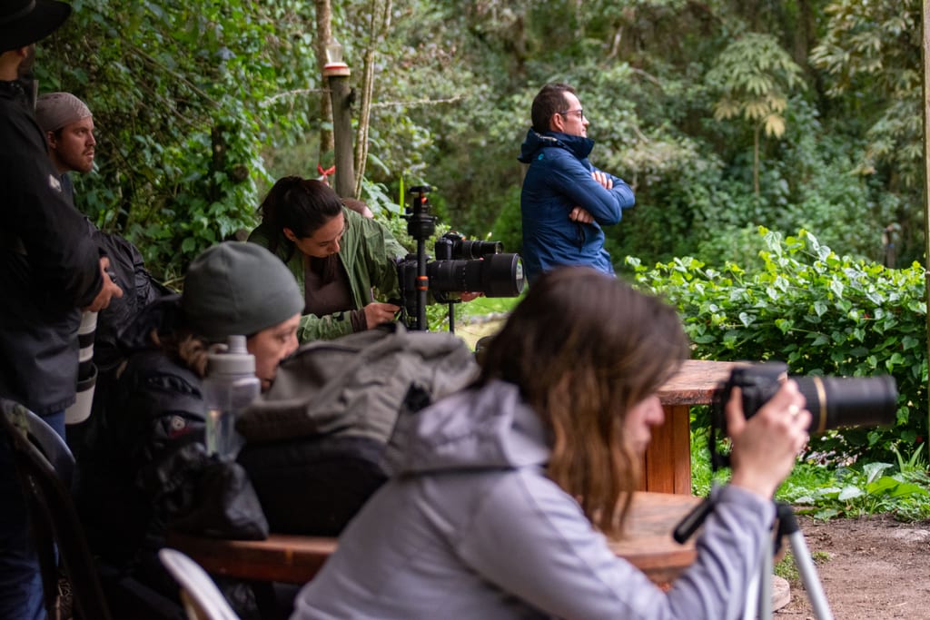
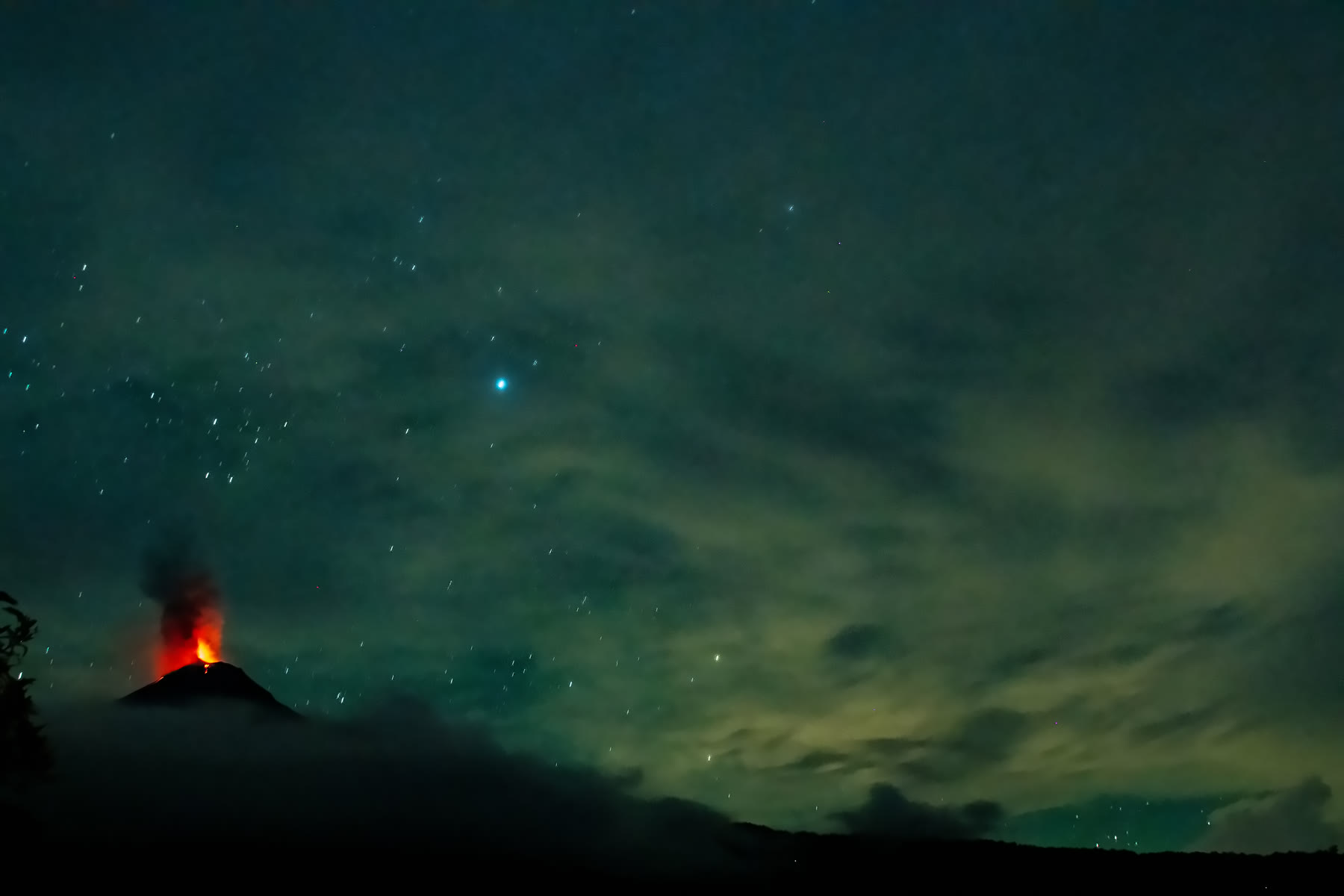
Some nights stay with you for good. Ours was on the eastern foothills of the Andes, at 2,000 m (6,560 ft) above sea level and just 3 km from the crater of El Reventador. We listened to the mountain rumble while glowing rock tumbled down its slopes, in one of the most extraordinary landscapes we have ever walked into.
Who we went with
We did this trip with laVerde HABITAT, a biological protection reserve. It was born from a deep desire to regenerate the relationship between people and nature, and it offers more than experiences: a path toward a more conscious, loving and sustainable way of living. They handled the logistics and provided lodging the night before the hike, so we could start fresh and early. They also supplied our local guide, who is a photographer and a true nature and conservation enthusiast. You can follow them on Instagram at @laverde_habitat.
This hike cannot be done on your own. The trail crosses laVerde HABITAT's private land, and a local guide is mandatory. It is extremely easy to get lost in this forest. Our guide knew the way, and also where to find clean water along the route. That is why we offer it as an organized trip: book with ICHU Photo Hiking Tours and we take care of everything.
The volcano
El Reventador sits about 90 km east of Quito and is one of Ecuador's most active volcanoes. It belongs to a line of volcanoes that includes Pan de Azúcar, Sumaco and the Puyo cones, where the Andes begin to give way to the Amazon basin.
Its past is poorly documented, since its remote location and the almost permanent cloud cover make it hard to observe. Still, experts estimate at least 16 eruptions since 1541. Before the major 2002 eruption its cone stood at 3,560 m (about 11,680 ft). Since then it has been rebuilding itself with at least 26 lava flows and is now estimated at around 3,600 m. That 2002 eruption sent a column 17 km high into the sky, and the ash reached and covered parts of Quito.
The volcano has been in eruption ever since. In September 2025, Ecuador's Geophysical Institute recorded between 67 and 108 explosions per day. And according to historian Pedro Porras, the people of Quijos once regarded it as a god.
The hike
We started on the Baeza–Lago Agrio road and walked 6 km (3.7 miles) to camp. The climb took about 4 hours and gained over 800 m (2,600 ft) of elevation. The descent the next day took about 3.
Be warned: this is a hard trail. It is steep, muddy and humid, and rubber boots are a must. On top of that, you carry everything you need for the night: food, tent, sleeping bag and the rest, which came to about 12 kg (26 lb) on our backs.
But the effort pays off. The path winds through cloud forest where you can spot a great variety of birds, animals and plants, with waterfalls pouring out of the mist.
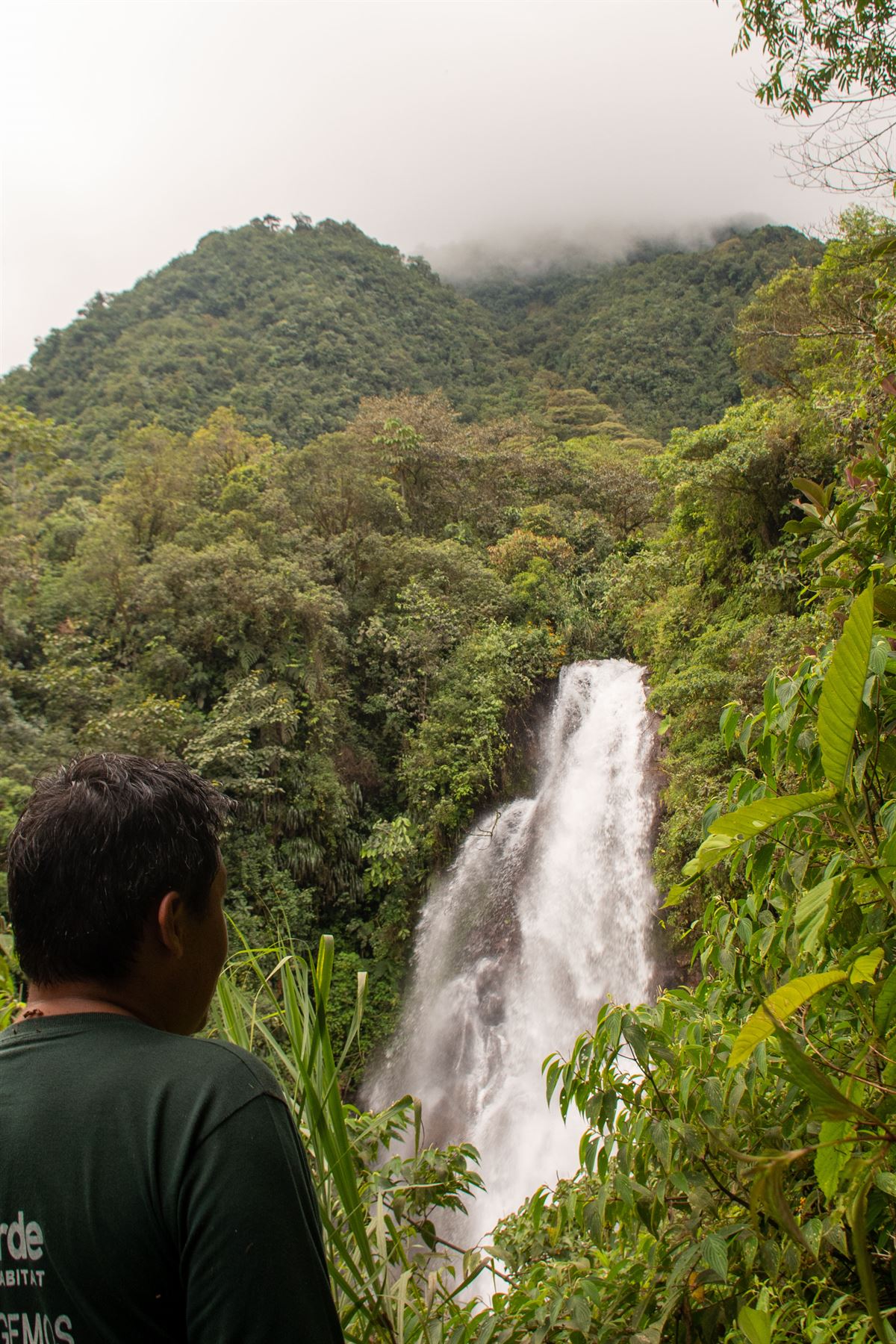
A biodiversity hotspot between two worlds
El Reventador lies inside the Cayambe-Coca Ecological Reserve, which spans elevations from 600 to 5,790 m above sea level. That range, from Andean peaks down toward the Amazon, explains its richness. The protected area is estimated to hold around 200 mammal species, 900 bird species, and 120 reptile and amphibian species, including the Andean bear, the puma, the Andean condor and the military macaw. Researchers have also recorded more than 100 endemic plant species.
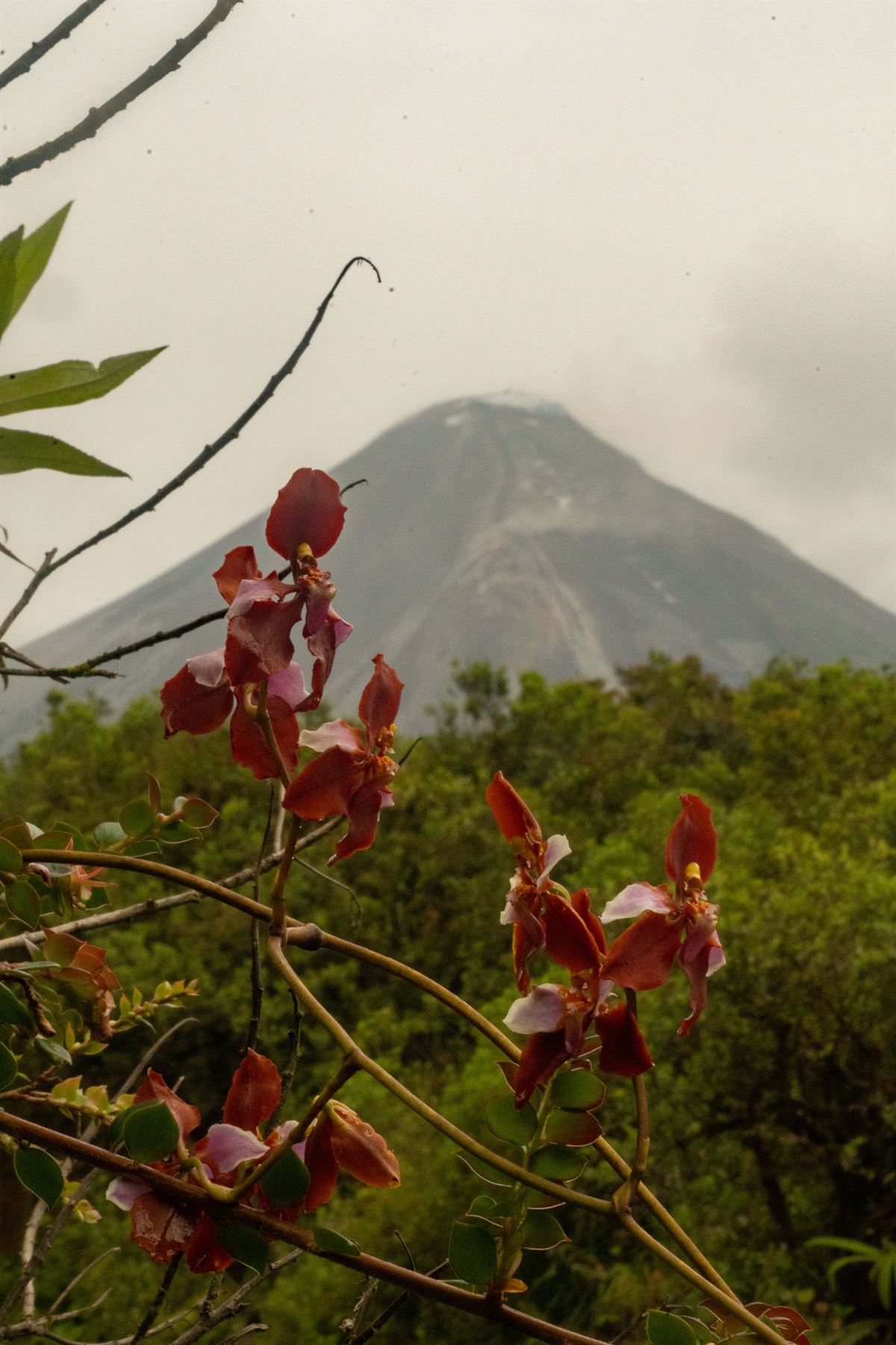
Seeing orchids in bloom with an active volcano as the backdrop sums up the place: delicate life and raw geological force, side by side.
The night
We pitched our tents at 2,000 m, 3 km from the crater. As darkness fell, the volcano came alive. We heard the explosions and the sound of rocks tumbling down the slopes, and in the dark we watched incandescent material streaming down the mountainside. According to the Geophysical Institute, this material can travel up to 1,100 m below the crater.
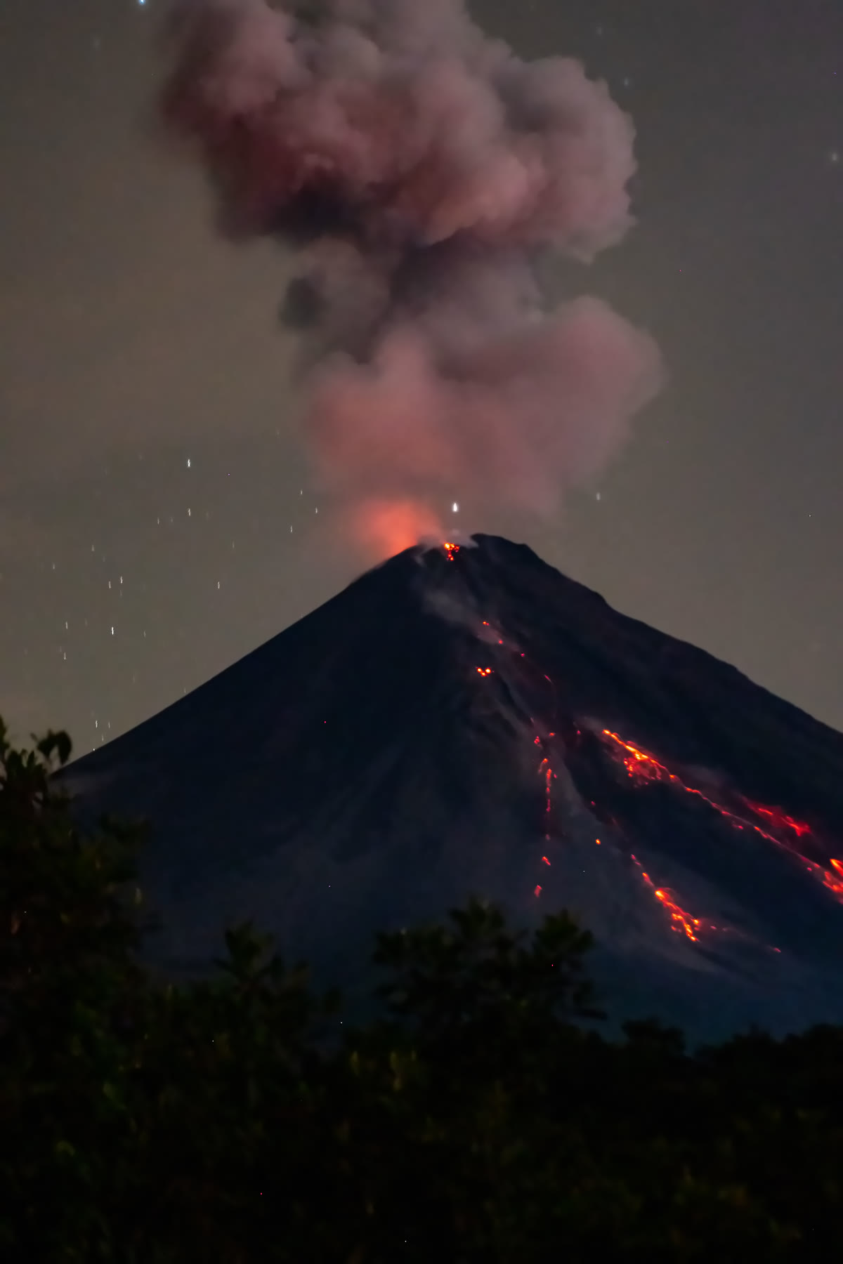
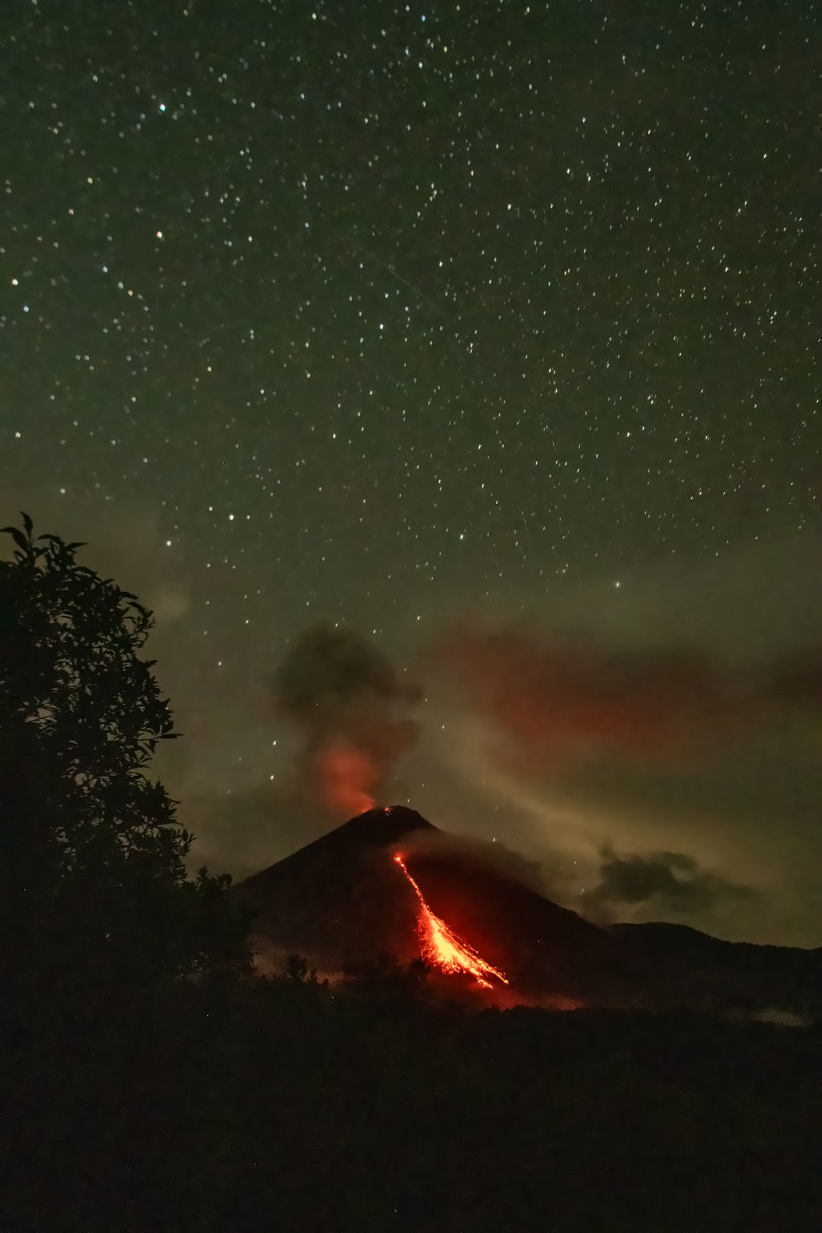
Above us, a sky packed with stars. In front of us, a volcano that has been erupting for over two decades.
Worth every step
Let's be honest: this is not an easy outing. The trail is steep and muddy, the pack is heavy, and the place itself is wild and inhospitable. Almost nobody comes here, and that is exactly the point.
The landscape is extraordinary. You walk up through layers of cloud forest and end the day in a remote corner of the Andean foothills, face to face with an active volcano, under a sky full of stars. Few places let you feel this small and this privileged at the same time. Standing there, with the mountain glowing in front of you and no one else around, every muddy step and every kilo on your back is worth it.
Best time to go
The best months for this trip are October to December. Even then, plan for rain: in this cloud forest you should always expect it, so pack as if it will pour.
Planning your own trip
El Reventador is an active volcano and the trail is demanding, so this is not a trek to improvise.
- Book with ICHU Photo Hiking Tours. The trail is on private land and a local guide is mandatory, so the hike cannot be done on your own. We organize the logistics and the lodging the night before.
- Best time: October to December
- Distance: 6 km each way
- Time: about 4 hours up, 3 hours down
- Elevation gain: 800+ m
- Difficulty: hard. Steep, muddy and humid
- Pack weight: around 12 kg, since you carry food, tent, sleeping bag and the rest of your overnight gear
- What to bring:
- Rubber boots (essential)
- Waterproof clothing
- Camera gear protected from the humidity, packed in dry bags
- Camp: 2,000 m, 3 km from the crater
- Check the volcano's current activity before you leave.
Sources: Instituto Geofísico (EPN), El Comercio, Expreso, Teleamazonas, Mongabay.